

Environmental Monitoring
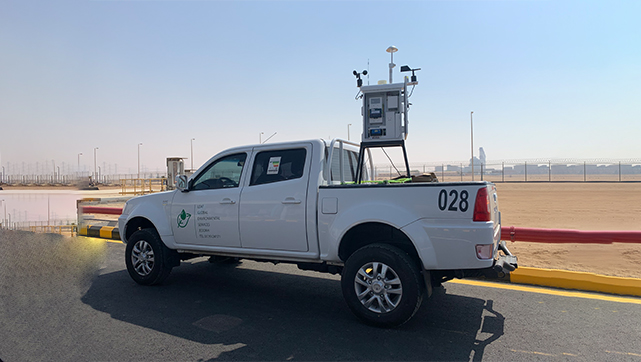
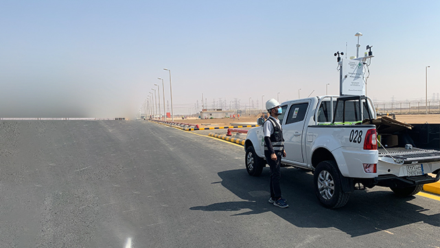
Leaf Global Environmental Services PLC is fully equipped with the latest technology and expertise to carry out comprehensive environmental compliance monitoring activities.
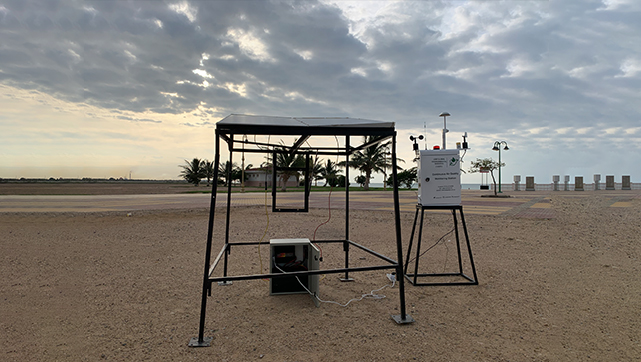
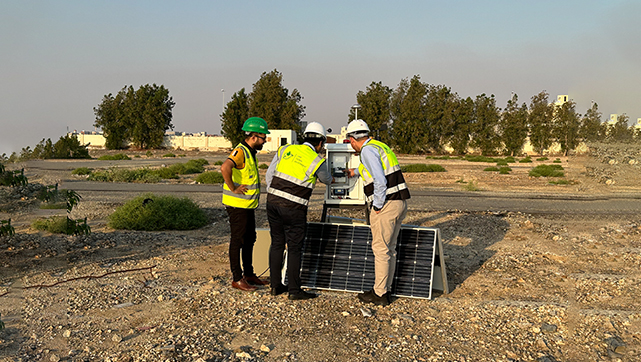
- Air Quality and Meteorological Monitoring
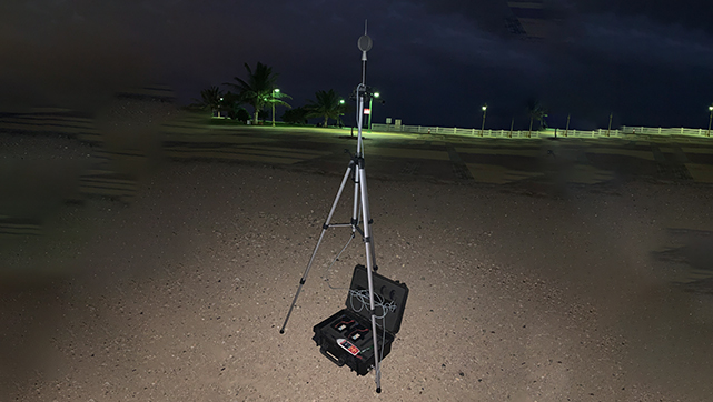
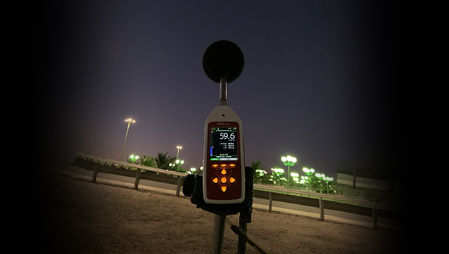
- Noise, Vibration, and Light Intensity Monitoring
- Soil, Sediment, and Water Quality Monitoring
- Terrestrial Ecology and Avifauna Monitoring (including Ospreys and Migratory Birds)
- Marine Ecology Observations (including Turtles and Marine Mammals)
- Radon Testing
- Asbestos Monitoring and Sampling
- Mold Inspection and Moisture Assessment
- Heat Monitoring
- Emission Source Monitoring (e.g., stack emissions from industries)
- Waste Management Monitoring (including Hazardous Waste)
- Environmental Impact Assessments (EIA) and Compliance Audits
- Comprehensive Sampling and Reporting
These tools allow our marine specialists to conduct the following high-value operations:
Seabed Surveys
- Seabed mapping for coastal engineering, infrastructure development
- Georeferenced visual and sonar-based assessments to support habitat characterization and marine spatial planning
Environmental Monitoring & Impact Assessment
- Baseline and long-term ecological monitoring of marine habitats (e.g., coral reefs, seagrass beds and soft sediment zones)
- Assessment of pollution levels, marine biodiversity trends and ecosystem resilience
- Post-dredging, construction and operational phase impact verification surveys
MarineEcology Surveys
The Marine Department is equipped with a fleet of cutting-edge Remotely Operated Vehicles (ROVs), including the BlueROV2, Boxfish, FIFISH E-Master AI Navi and Chasing M2. These advanced systems, integrated with high-resolution sensors, positioning tools and robotic functionalities, allow us to execute a wide range of marine ecological and technical surveys with precision, efficiency and scientific integrity.
Our ROV systems are equipped with:
- 8K Ultra-High-Definition Cameras for detailed underwater imaging
- AI Dehazing Algorithms for enhanced clarity in low-visibility conditions
- Robotic Arms for sampling, manipulation, and marine object interaction
- Sonar Integration and USBL Positioning Systems for accurate geo-referenced data
- Real-Time and Offline Smart Measurement Tools, achieving measurement accuracy up to 99.7%
- 2D & 3D Seabed Mapping capabilities for complex spatial analysis


